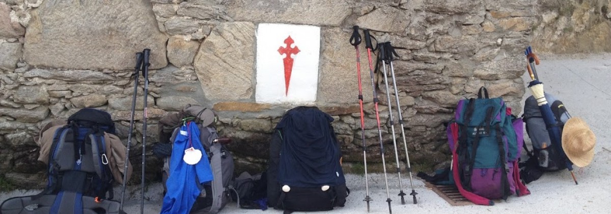
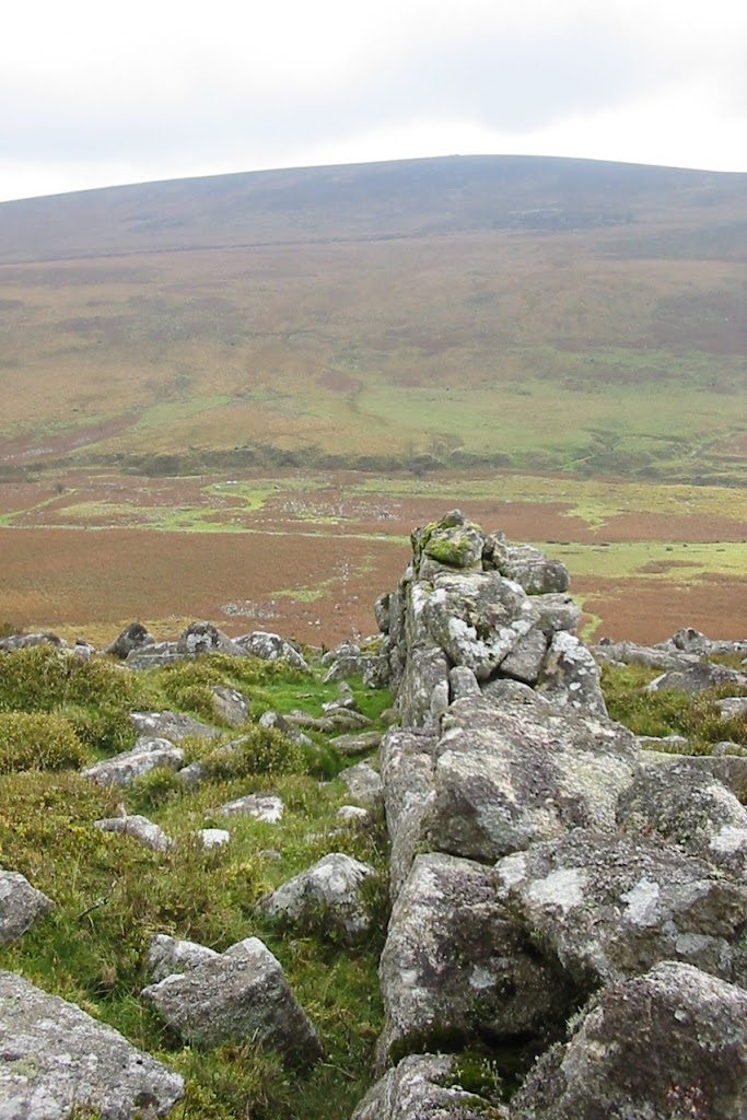
 eight years ago this week I returned from spending a semester studying in London. yesterday, prompted by a request for some pictures of standing out on the blustery moor to match the one posing with the Monumento do Peregrino in Galicia, I pulled out the journals from my study-abroad experience and looked back through my photos to find something suitably windswept. in fact, I found a photo of the Nine Maidens standing circle, which I hadn’t found to associate with my last post on the area.
stone circles are scattered across Dartmoor, including the one we visited, and contains the largest collection of Bronze Age tools anywhere in Britain. at that time, the climate was much warmer and trees likely covered much of the moorland, which were cleared by inhabitants using fire in order to make way for farm fields. as the climate cooled and people fled, the acidic soil they left behind made preservation of stone foundations and tools comparatively successful, thus resulting in the plethora of prehistoric tools. when things warmed up again, people returned and used many of the same tactics to construct needed buildings as they had before; some built in this longhouse style remain in use today (with modifications) though many lay abandoned and ruined.
 one of the distinct features of Dartmoor are its numerous tors — hills topped with rock outcroppings similar to but markedly less famous than the one in Glastonbury. in early May each year, the British Army arranges a weekend hike known as the Ten Tors in which youth between the ages of 14 and 19 complete circuits of 35, 45, or 55 miles (depending on age) in teams of six. according to the organizers it’s not technically a race, but more of an endurance test of survival and outdoor skills; obviously that doesn’t stop teams from competing with one another for the best time though. since there are a variety of potential routes, however, you won’t necessarily know which other teams might keep pace with you. the first race took place in 1960 with about 200 people; now participation is capped at 2,400 youth from southwest England. two noteworthy things happened during the 2012 event — the first all-girls team completed the course in a school-record time; and a team on track to complete in sixteen hours diverted upon hearing the distress calls of another team and ensured their rescue before crossing the finish twenty minutes after the official close of the race, which would have barred them from receiving recognition of completion. naturally, the director of the event acknowledged them anyway.
having spent an comparatively mild fall afternoon out on the moor, and reading about the variable if not downright tempestuous weather, it’s amazing to consider anyone would want to undertake a weekend of trekking around the moor, braving whatever the elements seek to dump on you. in more than a few years the weather has necessitated evacuation of teams at some point during the competition or outright cancellation prior to starting out.


