Buffalo Beach

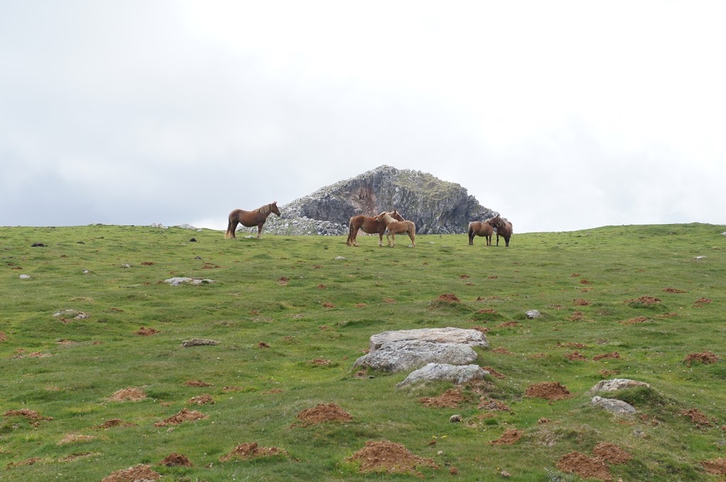
it shouldn’t have come as a surprise to me, but New Zealand has a booming timber industry – has had for quite some time. prior to Maori arrival on the islands approximately 1,000 years ago, forests covered nearly the entire landmass. using fire, Maori cleared about 15 per cent of those forests prior to the arrival of European settlers in the 1770s. timber proved useful in ship repair – a constant necessity for vessels stopping on their way to or from distant ports. in the early 1800s, the population explosion of New South Wales further increased demand; and the Treaty of Waitangi in 1840, which paved the way for rapid European settlement in New Zealand, increased the pace of deforestation with thousands of acres being burned to clear farmland or clear cut to fuel the timber industry.

Looking southeast along Buffalo Beach at low tide

we saw evidence of the timber industry – past and present – nearly everywhere while traveling. one of the more interesting sites (which, to be fair, we didn’t observe ourselves) is the wreck of the HMS Buffalo at the bottom of Mercury Bay in Whitianga. the area around Whitianga was once thick with kauri forests, trees useful for their gum and resin, and the harbor on the northeast of the North Island somewhat sheltered from the Pacific Ocean useful for hauling them to distant destinations. ships came from as far away as Norway, Sweden, France, Italy, and the UK to collect some of the 500 million feet of kauri harvested in the region.

the Buffalo (originally named Hindostan) was built in Calcutta in 1813 as a food transport vessel and subsequently acquired by the Royal Navy for use (initially) as a storeship. over the years, the Buffalo also served as a quarantine vessel, convict ship (carrying 180 female convicts to Australia in 1833), transport for colonists bound for Australia, and finally a timber carrier.

Looking out over Mercury Bay from Buffalo Beach

in this last capacity, the Buffalo came to be anchored in Mercury Bay in July 1840. while today the harbor has moved into the mouth of the river (significantly more sheltered though perhaps impractical for vessels that size), in the 1800s the dock and pier extended out from what is know known as Buffalo Bay, near where our first hostel was located. on the 28th of July in 1840, a storm blew into the bay and parted the kauri-laden Buffalo from its anchoring cables. when it became clear that the ship could not be saved, the captain steered onto the beach and the crew abandoned ship. it sank and remains where it went down. in 1996 a team of maritime archaeologists and volunteers from Australia located and charted the site of the wreck and in 2009 the New Zealand Navy investigated the wreck using snorkels; much of the ship has broken up due to storms and spending more than 150 years underwater though the hull, reportedly, remains in good condition. at low tide on a day with exceptionally clear conditions you can see the wreck from above; the weather never got truly clear while we visited Whitianga and, more to the point, we didn’t get directly above the site, but neat to consider all the same!

Roncevaux Pass — now with animals!

the hike over the Ronceveaux Pass was one of the most challenging of our trip. it’s not uncommon for people to stop the night in Orisson, which is only about 8km from St. Jean-Pied-de-Port. it’s a strenuous climb to reach Orisson, which has the only albergue (and only amenities) before you reach Roncesvalles, and only gets more challenging as your continue on another 20km. (if you’ve ever seen Emilio Estevez’s “The Way”, his character perishes on this segment when he takes a wrong turn and gets lost in the mountain fog.)

once beyond Orisson, we saw lots of animals grazing in the high mountain fields; probably more herds of animals on this day than an other single day of our trek. some of the horses had bells around their necks, as did the sheep. we didn’t try to approach them, but they seemed wholly unfazed by our presence — suppose you’d have to grow accustomed to so many random humans wheezing their way through your breakfast chomp.

in 778, Charlemagne retreated from Spain, and destroyed the city walls of Pamplona as he did so despite assurances that he would not — perhaps to prevent Basque or other fighters from using the city’s considerable defenses in future rebellions. as the army crossed the Pyrenees, a group of Vascones (people native to this region of Spain at the time the Romans arrived) attacked the rear guard, generating mass confusion and leading to disarray and devastation in the French army. Roland was among those killed and, as  anyone who studied French for any length of time might recall, immortalized in the Chanson de Roland, a somewhat romanticized account of the battle. a stone commemorates the location in the pass where most historians believe he fell (which we walked past) and the Chapel of the Holy Spirit in the village of Roncesvalles.

as challenging as this leg proved, the terrain was remarkable: lush green fields grazed by animals; imposing rock faces; dense forest with fallen leaves lying inches deep; stunning panoramas; even snow! though we ultimately found our guidebook more hyperbolic and unreliable than useful, the admonition to stay attentive on the descent that day was helpful. after straining under unaccustomed weight for an unaccustomed distance for hours uphill, it could have been easy to misstep on uneven terrain — and we even took the “easy” route down the mountain into Roncesvalles as the steeper, wooded route was too sloppy from rain in the preceding days. needless to say, we were both very happy to see the welcoming doors of the albergue run by the Real Collegieta de Roncesvalles.

an on-purpose hike: Klet’


as I mentioned previously, I took advantage of the extensive hiking trails that cross the Czech Republic while I visited, but the only hike that I had on my list prior to departing was up Klet’, a peak of 1,084 metres (3,556 feet) located just a few kilometers outside of Český Krumlov. the hike itself was gorgeous, though the first several kilometers were along a standard country road — my first opportunity to put responsible hiking techniques to good use. there were a fair number of penzions along the route, though at this time of year none seemed too busy. because of it’s convenient proximity to Prague and the Austrian and German borders (and also because the town is well preserved and gorgeous), the town is extremely popular with tourists. but, as I said, late September is the end of the season and although the center of town was swamped by o.a.p.-filled tour buses, on this warm and sunny day I the road out of town to myself.

finally, and rather unexpectedly, the path took a turn to the left and dove right into the woods. the flora reminded me of the MMSD’s School Forest — deciduous trees with sparse undergrowth. there was some evidence of logging — oddly square clearings here and there, muddy tracks of trucks rumbling out from beneath the trees — but things were quiet during my hike. in fact, the entire way up I didn’t encounter a single person. (I must acknowledge, however, that my extraordinarily-well-rested self set out from town immediately after breakfast and was back in town by 1p.m.)

while I enjoyed the hike, the final stretch to the top of the peak tested me and I spent most of it convincing my legs to keep climbing. in addition to a viewing tower and snack-bar cafe, the peak is home to an observatory that tracks near-Earth objects, such as comets, asteroids, and “other unusual objects,” including planets. the observatory is the oldest in the country and on clear days you can see the Alps in the distance. of course, the terms “clear day” and “see the Alps” are more finicky than one might suspect and despite what one might think on a day like the one I scaled Klet’, I could not see the Alps. in fact, the viewing tower remains closed on Mondays and Tuesdays so I didn’t have the opportunity to determine whether another couple dozen vertical yards would make a difference. I encountered a fair number of people at the top, in spite of the closed tower and possibly-unstaffed cafe. it seemed apparent, however, that most of the other hikers came up the eastern slope of the peak, quite probably with the assistance of the ski lift that runs from a car park near Krásetín, to the summit.

despite my fatigue, under-hydration, and the closed nature of the tower, the hike up Klet’ was absolutely worth the effort. at the very least, it helped prepare me for my other hikes of the subsequent 10 days, hikes that I did not plan out as thoroughly and which took me unexpected places at unexpected paces.