fastest hike of the trip: Křížat

view of Klet’ and observatory from Křížat

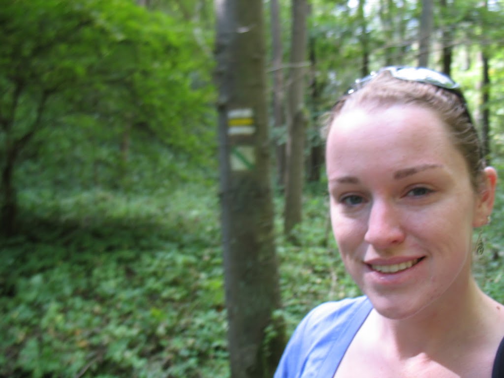
my second hike took me in the opposite direction from my first, south of Český Krumlov, and up the road past my hostel. both the owner and managers of the Krumlov House urged me to hike up Křížat, a modest yet steep peak with a chapel on top and stations of the cross situated through the neighborhood and meadows leading up to it. the view of the sunset from the top, I was told, was quite remarkable.

despite feeling decently taxed by my kayak trip down the Vltava, the glowing recommendations swayed me to hike up Křížat. because she recommended it so highly, I invited Anna (on of the managers) to hike with me but a delay at dinner kept us from getting back to the Krumlov House at the appointed departure time. worried that I’d missed her, I took off up the hill in the hopes that I’d catch her up. as I’d come to learn even more thoroughly later, I found it somewhat difficult to determine precisely which trail to follow and which direction the markers were leading me. taking a left, I made it half-way up the hill, darting through a residential neighborhood before I lost the trail entirely and doubled-back down to my starting point to try the other trail markings.

in the end, I jogged most of the way up the hill and didn’t see Anna (she’d been out when we got back), but as promised, the sunset was spectacular and worth every ounce of effort it took to getting up the hill in time to see the sunset.

view to the west over the mountains from Křížat

Posted by Picasa

an on-purpose hike: Klet’


as I mentioned previously, I took advantage of the extensive hiking trails that cross the Czech Republic while I visited, but the only hike that I had on my list prior to departing was up Klet’, a peak of 1,084 metres (3,556 feet) located just a few kilometers outside of Český Krumlov. the hike itself was gorgeous, though the first several kilometers were along a standard country road — my first opportunity to put responsible hiking techniques to good use. there were a fair number of penzions along the route, though at this time of year none seemed too busy. because of it’s convenient proximity to Prague and the Austrian and German borders (and also because the town is well preserved and gorgeous), the town is extremely popular with tourists. but, as I said, late September is the end of the season and although the center of town was swamped by o.a.p.-filled tour buses, on this warm and sunny day I the road out of town to myself.

finally, and rather unexpectedly, the path took a turn to the left and dove right into the woods. the flora reminded me of the MMSD’s School Forest — deciduous trees with sparse undergrowth. there was some evidence of logging — oddly square clearings here and there, muddy tracks of trucks rumbling out from beneath the trees — but things were quiet during my hike. in fact, the entire way up I didn’t encounter a single person. (I must acknowledge, however, that my extraordinarily-well-rested self set out from town immediately after breakfast and was back in town by 1p.m.)

while I enjoyed the hike, the final stretch to the top of the peak tested me and I spent most of it convincing my legs to keep climbing. in addition to a viewing tower and snack-bar cafe, the peak is home to an observatory that tracks near-Earth objects, such as comets, asteroids, and “other unusual objects,” including planets. the observatory is the oldest in the country and on clear days you can see the Alps in the distance. of course, the terms “clear day” and “see the Alps” are more finicky than one might suspect and despite what one might think on a day like the one I scaled Klet’, I could not see the Alps. in fact, the viewing tower remains closed on Mondays and Tuesdays so I didn’t have the opportunity to determine whether another couple dozen vertical yards would make a difference. I encountered a fair number of people at the top, in spite of the closed tower and possibly-unstaffed cafe. it seemed apparent, however, that most of the other hikers came up the eastern slope of the peak, quite probably with the assistance of the ski lift that runs from a car park near Krásetín, to the summit.

despite my fatigue, under-hydration, and the closed nature of the tower, the hike up Klet’ was absolutely worth the effort. at the very least, it helped prepare me for my other hikes of the subsequent 10 days, hikes that I did not plan out as thoroughly and which took me unexpected places at unexpected paces.

a pedometer would be handy

after some consideration, I’ve settled on a unifying element of my trip to the Czech Republic: walking. my accidental 28km hike was just one of many foot-borne excursions I enjoyed during my travels. Czechs, I came to understand, enjoy their outdoor activities and hiking and biking trails snake everywhere across the countryside. before I left, I spotted tips in my guidebook for people looking to hike the length of either the Czech Republic or Slovakia and thought the idea absurd — what country has the hiking infrastructure to allow people to hike that far? to make an enjoyable vacation out of the activity?

the Czech Republic, I now know, for one. presumably Slovakia for another.

I went into a bookstore in Wenceslas Square in Prague looking for a standard, nationwide roadmap like the one I got in Ireland and there were nearly as many detailed local and regional ordinance survey recreational maps as there were for maps for the rest of the world. walks around Český Krumlov, around Prague, around Štramberk, around Olomouc, around Brno, around the Mikulov region … you name it, there was a recreation map to cover your needs. maybe two.

however, for those like me who don’t deem such detailed ordinance maps necessary, the trails are so adequately marked that you’ll do all right without them. as long as you know your destination, or the next town on your path, then the periodic signposts and painted markings on trees and farmhouse corners will lead you in the right direction. of course, you might be better off to have the hyper-detailed maps (or at least to consult them during a planning stage) so that you don’t end up hiking three times farther than you think you will hike and run most of the way back to town so as not to miss the last bus back to where you’re spending the night … but that adventure is for another post.